 |  |
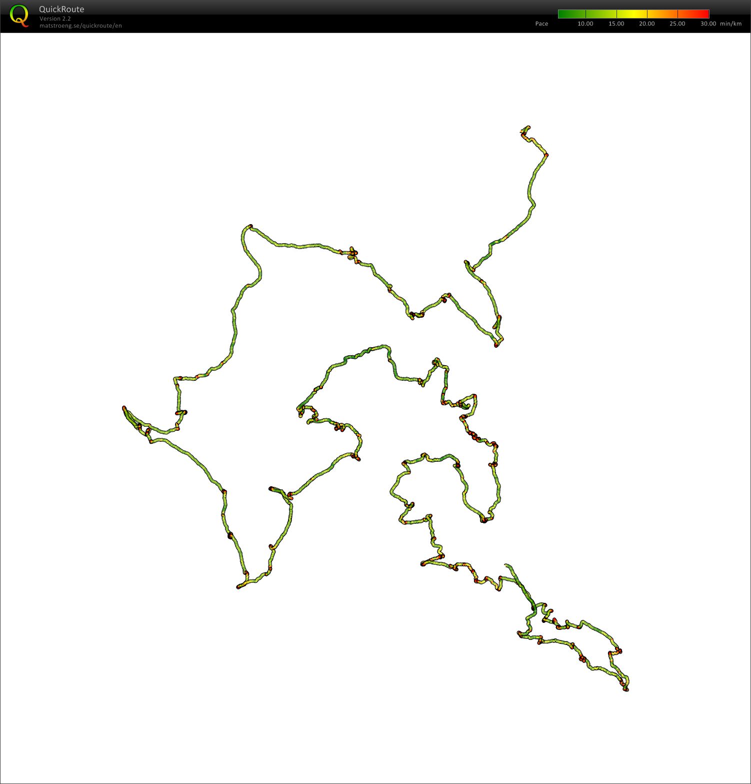
Az ellenőrző bíró hétvégén járta be a terepet, vizsgálta át a térképet és az ellenőrző pontokat. A GPS tanulsága szerint 12 óra 25 percet töltött a terepen, ezalatt 39 kilométert gyalogolt és közel 180 pontot ellenőrzött le. Saját számítása szerint mintegy 1500 m szintet is megmászott. „Nagyon tetszett a terep, igazi tavasz eleji hangulata volt. A sűrűbb fenyvesekben még itt-ott hófoltokkal is találkoztam, másutt pedig már zöldülni kezd az erdő. A terület nagyobb részén kitakarított szálerdő várja a versenyzőket, a nyugati területeken kisebb-nagyobb bozótfoltokkal. A szinteket alig éreztem, bár az tény, hogy sok kaptató lesz a pályákban. Az egyéni pályákkal nagyon elégedett vagyok. A váltóverseny terveink szerint igazi test-test elleni küzdelmet hozhat, a nézők számára igazi csemege lehet, remélhetőleg magyar sikerekkel.” – mondta el Less Áron. Érdekességként álljon itt az ellenőrzés egy részének GPS-trackje (persze a térkép nélkül). | The Event Controller went to the terrain, examined the map and the control points in the weekend. According to his GPS, he covered 39 kilometers in 12 hours 25 minutes in 2 days, visiting almost 180 controls. He also counted about 1500 ms of climbing. "I really liked the terrain, it showed it's really nice early-spring form. In the denser pine forests there were even some patches of snow, in other parts, I found spring flowers. Most of the terrain is very-well runnable, the beech forest is like a motorway. To make orienteering more difficult there are also some smaller-bigger patches of green. I didn't really feel the climbing, although it has to be said, that the courses will cross quite many contours :) I'm really satisfied with the individual courses. According to plans, the relay will be a true man-to-man contest, the spectators can be the real winners, although we hope the home teams will also grab a medal or two" - stated Áron Less. For some curiosity, you can take a look at a part of the GPS-track from the controlling visit (without the map of course). |


